The Importance of Geotechnical Investigations Required in Auckland
A geotechnical investigation is an important early step for many property development projects in Auckland. It establishes how the ground will respond to the proposed development and identifies conditions that could affect foundations, earthworks, drainage, retaining structures and overall site stability.
Auckland has highly variable ground conditions, from volcanic soils and natural slopes to areas of uncontrolled fill, reclaimed land and soils susceptible to liquefaction. Understanding these conditions before design and construction helps determine the right engineering approach and supports a smoother consent process.
Geotechnical and civil engineering often work together at this stage. While geotechnical investigations establish what is happening beneath the ground, civil engineering considers how the proposed development will interact with the site, including earthworks, levels, drainage, stormwater and infrastructure.
Unique Geological Conditions and Safety Considerations
Ground conditions can vary significantly between neighbouring properties. Soil strength, groundwater levels, permeability, fill quality and slope stability can all change across a relatively short distance.
A geotechnical investigation for Auckland projects can provide site-specific information about these conditions. Testing and assessment can identify whether a development may require specialised foundations, ground improvement, slope stabilisation, retaining systems or additional drainage measures.
This information allows the wider design team to make informed decisions before construction begins. It can also reduce the risk of settlement, landslip, foundation movement, water-related problems and other ground-related issues affecting the development or neighbouring properties.
The Role of Geotechnical Engineering in Council Consents
Geotechnical information is commonly required when applying for building or resource consent, particularly where a proposal involves earthworks, challenging ground conditions, natural hazards or structures that place significant loads on the site.
A geotechnical report provides evidence that relevant ground conditions and hazards have been investigated and considered in the proposed design. Where risks are identified, the report can recommend appropriate engineering controls or further investigation.
Obtaining this information early can help avoid unnecessary delays caused by incomplete applications, requests for further information or changes to the proposed design.
Geotechnical Report Requirements by Auckland Council
The geotechnical information required for a development depends on the site's characteristics and the nature of the proposed works. Auckland's planning and building requirements can require additional investigation where natural hazards, unstable ground, earthworks or other site constraints are present.
A suitable report should provide clear, site-specific information about the ground conditions and explain how identified risks have been considered in the proposed development.
Requirements can vary between projects, so the appropriate scope of investigation should be established during the early stages of planning and design.
When Is Geotechnical Investigation Required?
There is no single site characteristic that determines whether a geotechnical investigation is required. The need for investigation depends on factors such as the site's ground conditions, natural hazards, proposed building, earthworks and development scale.
A geotechnical assessment may be appropriate for property development in Auckland where a site has:
- Steep or potentially unstable slopes
- Fill material or evidence of previous earthworks
- Liquefaction susceptibility
- Coastal erosion or instability concerns
- Poor or variable ground conditions
- Significant changes in ground levels
- Large or heavily loaded structures
- Retaining walls or other structures interacting with the ground
- Deep foundations such as piles or piers
- Drainage or groundwater concerns
Identifying these conditions before detailed design allows the geotechnical and civil engineering requirements to be considered together.
Natural Hazard Areas Requiring Assessment
Auckland contains areas affected by a range of natural hazards. Depending on the location and proposed development, these hazards can influence whether specialist investigation and engineering design are needed.
Liquefaction-Prone Areas
Liquefaction can occur when loose, saturated soils lose strength during earthquake shaking. The resulting ground movement can affect buildings, services and infrastructure.
A geotechnical investigation can assess the site's susceptibility to liquefaction and help determine whether measures such as ground improvement, alternative foundation systems or other design changes are appropriate.
Slope Instability and Landslip
Properties on or near steep slopes require careful consideration of ground stability. A geotechnical assessment can examine soil and rock conditions, slope geometry, groundwater and other factors that could influence stability.
The findings can inform foundation design, earthworks, retaining structures and slope stabilisation measures.
Coastal Erosion and Instability
Properties near vulnerable coastal areas may need assessment of erosion, land stability and long-term site conditions. Understanding these risks early helps determine whether the proposed development is suitable for the site and what engineering measures may be required.
Building and Site Conditions That May Require Investigation
Certain development characteristics commonly require detailed geotechnical input, even where there is no obvious natural hazard.
Multi-Storey Buildings
Larger and taller buildings place greater loads on the ground. Investigation can establish bearing capacity, settlement characteristics and the conditions needed to develop an appropriate foundation solution.
Retaining Walls
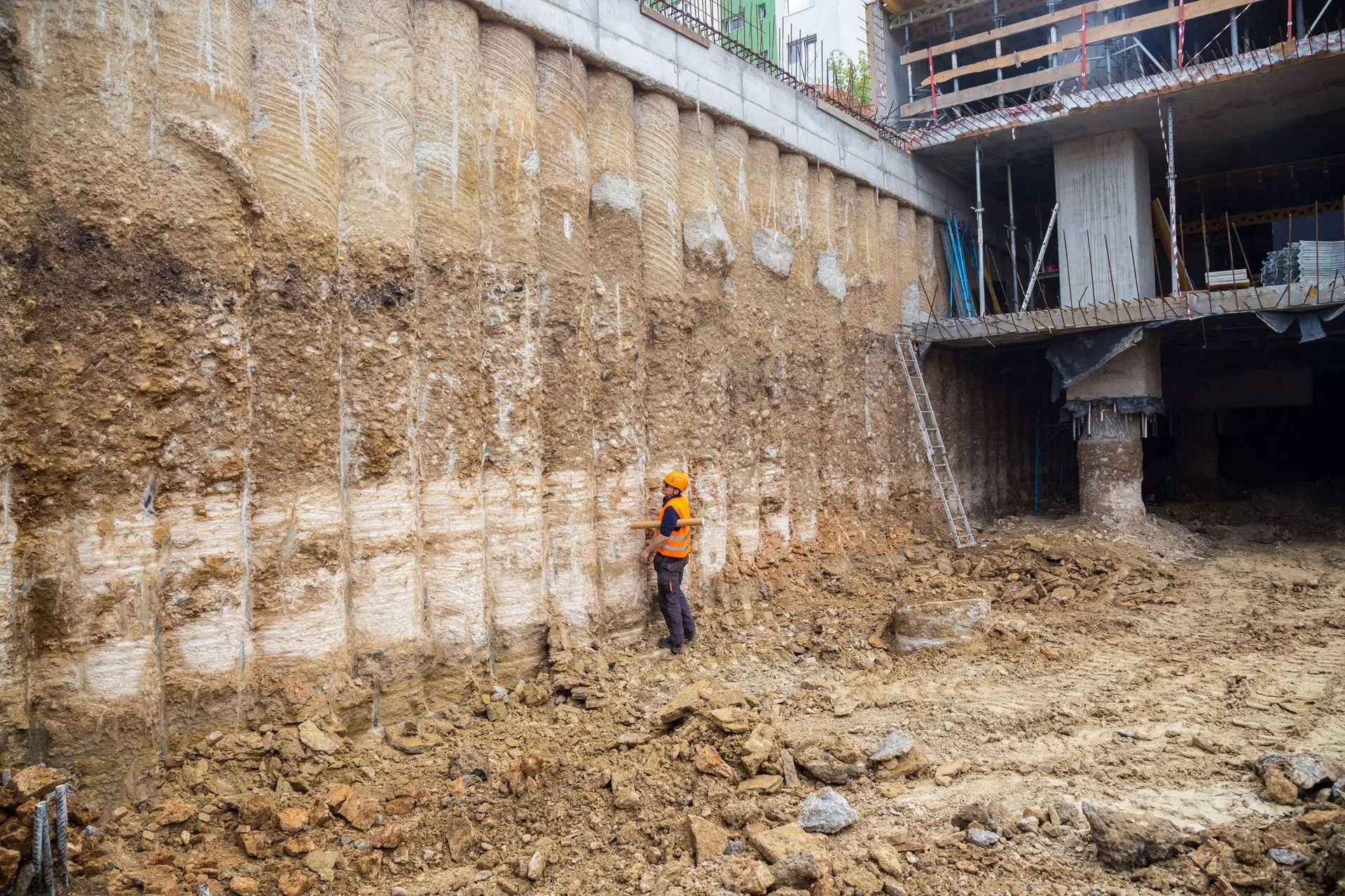
Retaining structures can create significant loads within the ground, particularly where substantial differences in site levels are involved. Geotechnical information helps determine soil strength, earth pressures, drainage requirements and appropriate foundation conditions.
Deep Foundations
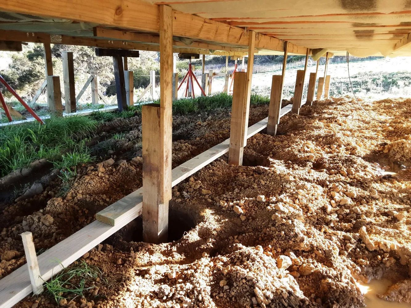
Where piles, piers or other deep foundation systems are proposed, investigation may be required to understand the deeper soil and rock profile. This information supports a foundation design suited to the actual ground conditions.
Significant Earthworks
Cutting, filling and changes to existing ground levels can alter slope stability, drainage and how loads are transferred through the site. Geotechnical input can establish suitable earthworks parameters and identify potential ground risks before construction.
Site-Specific Indicators for Geotechnical Assessment
Some properties show physical signs that warrant further investigation.
Steep Slopes and Fill Material
Sloping sites and properties containing fill can have highly variable ground conditions. Imported or historic fill may differ in composition and compaction, while natural slopes can contain weaker layers or groundwater conditions that are not obvious from the surface.
Testing helps establish what lies beneath the proposed development area and whether additional engineering measures are required.
Poor Drainage and Groundwater
Persistent ponding, wet ground or unusual water movement can indicate drainage or groundwater issues. These conditions may affect soil strength, slope stability and foundation performance.
Understanding groundwater conditions can also help coordinate geotechnical recommendations with the civil design for stormwater and site drainage.
How Geotechnical and Civil Engineering Work Together
Geotechnical engineering and civil engineering address different aspects of development, but they are closely connected.
The geotechnical investigation establishes the site's ground conditions and identifies constraints that could affect development. Civil engineering then considers how the proposed development will interact with those conditions through earthworks, levels, drainage, stormwater, access and infrastructure.
Considering both disciplines early can create a more coordinated design and reduce the likelihood of later changes.
Civil Engineering for Property Development in Auckland
Civil engineering input is often required where a development changes existing ground levels, introduces new impermeable surfaces or alters how water moves across a property.
Civil design can address finished floor levels, earthworks, surface drainage, stormwater discharge, overland flow paths and infrastructure servicing. These considerations are particularly important for developments where changes to the site could affect neighbouring properties, public infrastructure or existing drainage networks.
Stormwater and Wastewater Design
New dwellings, alterations, subdivisions and other developments may require assessment of stormwater and wastewater servicing.
Depending on the site and available infrastructure, civil engineering may involve connections to public networks, stormwater attenuation, detention, soakage systems, pumps or on-site wastewater solutions.
Stormwater design also needs to consider how runoff will move through the property during normal conditions and larger rainfall events, including any established overland flow paths.
Earthworks and Site Levels
Development frequently involves cutting, filling or reshaping a site. Civil engineering can establish appropriate finished levels and coordinate earthworks with access, drainage, foundations and surrounding properties.
Where earthworks interact with challenging ground conditions, civil design should be informed by the findings of the geotechnical investigation.
Driveways, Access and Retaining Structures
Civil engineering may also be required where a project includes new or modified vehicle access, significant changes in site levels or drainage associated with driveways.
Where access works connect to the road network, the design may also need to consider relevant infrastructure requirements and how the proposed works interact with existing public assets.
Retaining structures can similarly require coordinated geotechnical and civil input, particularly where they support changes in ground levels, roads, driveways or developed areas.
Subdivision and Three-Waters Infrastructure
Subdivision projects generally require more extensive civil engineering because new properties need appropriate infrastructure and servicing.
Civil design may cover:
- Stormwater infrastructure and management
- Wastewater servicing
- Potable water supply
- Road and vehicle access
- Earthworks and site levels
- Overland flow paths
- Connections to existing infrastructure
- Other three-waters infrastructure requirements
Geotechnical investigation is often an important part of subdivision planning, particularly where ground conditions, slopes, earthworks or natural hazards could influence infrastructure design.
The Consequences of Skipping Necessary Investigation and Design
Failing to identify geotechnical or civil engineering requirements early can create problems later in the project.
Consent Delays and Redesign Costs
Incomplete technical information can result in requests for further information, additional investigations, or design changes. Addressing these issues after a consent application has been prepared can increase both project time and cost.
Ground and Structural Problems
Building without an adequate understanding of ground conditions can increase the risk of settlement, instability, drainage problems and foundation distress. Poorly considered civil works can also contribute to water management and access issues.
Early engineering input helps identify these risks before they become expensive construction problems.
Professional Engineering Expertise
Appropriately qualified professionals with experience relevant to the proposed development should undertake geotechnical and civil engineering assessments.
Experienced engineers can assess site conditions, interpret investigation results and coordinate recommendations with the wider design. They can also help establish the appropriate level of investigation and documentation required for the project's consent pathway.
Chartered Professional Engineers
Chartered Professional Engineers bring recognised technical competence and professional experience to complex development projects. For geotechnical work, specialist expertise is particularly important when assessing challenging ground, natural hazards, foundations, slopes and retaining structures.
Experience With Auckland Development Requirements
Local experience can also be valuable. Engineers familiar with Auckland's ground conditions, development requirements and consent processes can identify potential issues earlier and help coordinate geotechnical findings with civil design.
Start Your Development With the Right Engineering Information
Auckland's varied ground conditions and development requirements make early engineering assessment an important part of the planning process. A geotechnical investigation can establish the ground conditions and risks affecting your site, while civil engineering can address the practical requirements for earthworks, levels, drainage, stormwater, access and infrastructure.
Bringing these disciplines together early can help create a more coordinated design, support the consent process and reduce unexpected issues during construction. If you are planning a new dwelling, alteration, subdivision or other property development in Auckland, early geotechnical and civil engineering input can provide a stronger foundation for the project.